
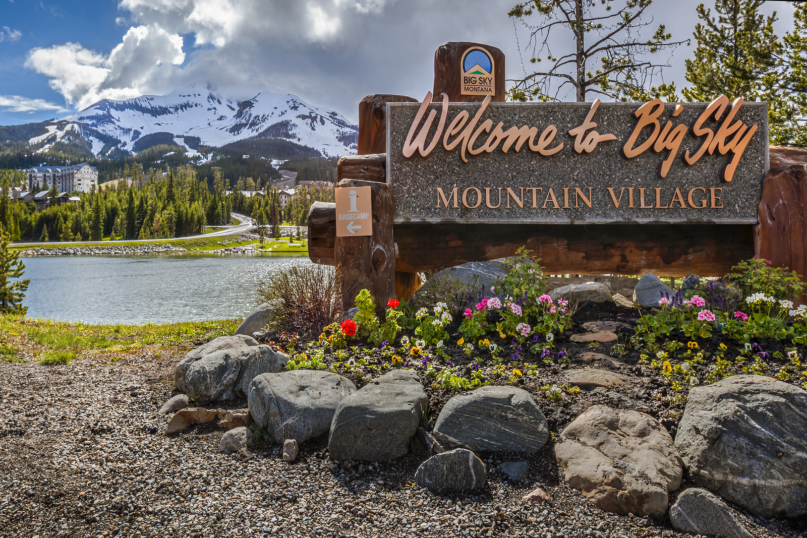
Big Sky Resort is the main attraction in town and not just in winter. While it’s known for world-class skiing, it’s also a year-round spot for outdoor fun. In summer, ride the scenic chairlift, hike through wildflowers, or grab a bite with mountain views. Even if you’re not skiing, it’s worth a visit for the views and mountain atmosphere.
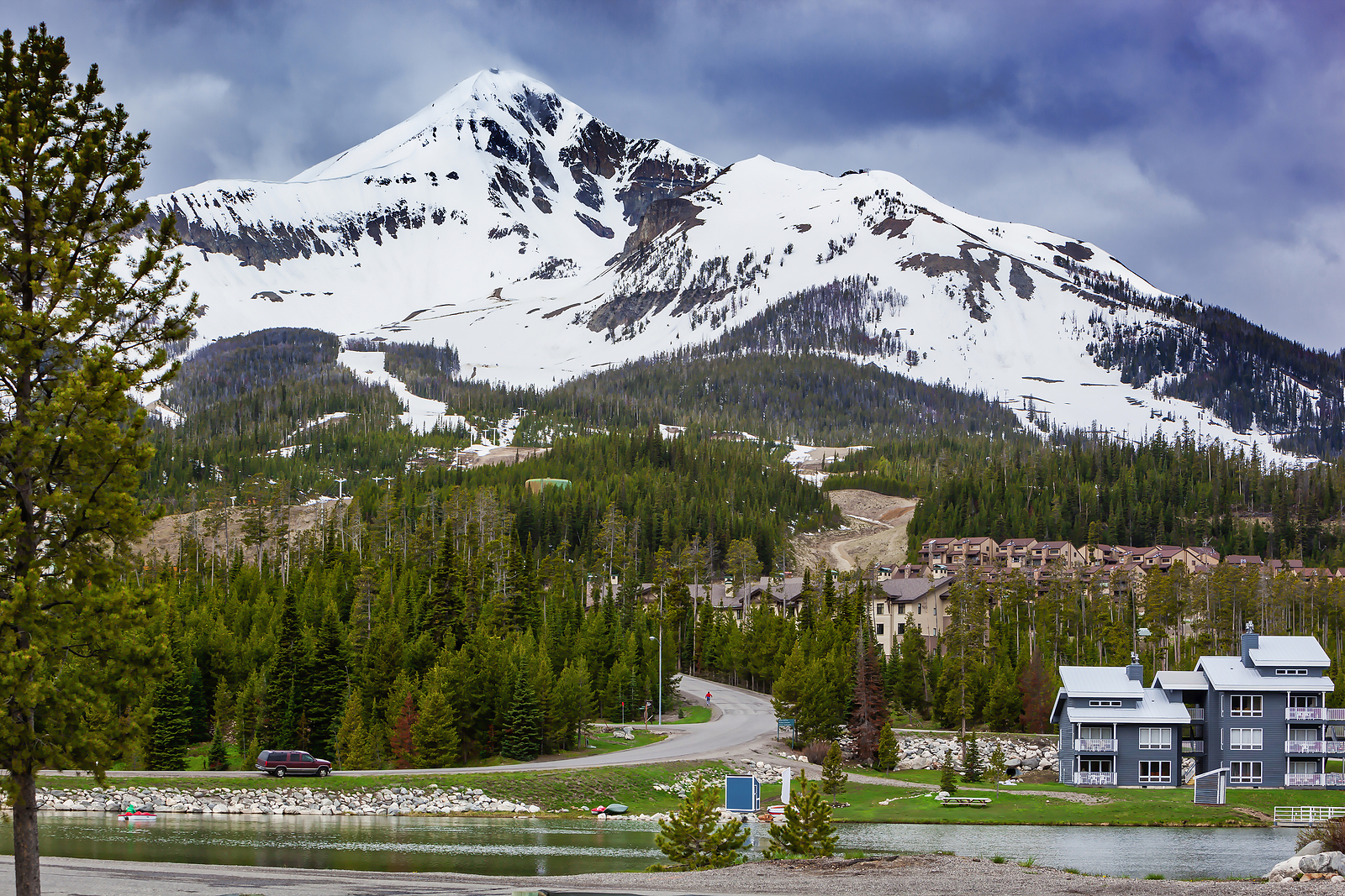
Lone Mountain rises over Big Sky at 11,166 feet and is hard to miss. You can see its dramatic peak from just about anywhere on the drive. If you’re up for it, take the tram to the top for views of three states and two national parks. Or enjoy it from below with a picnic or coffee at a scenic overlook.
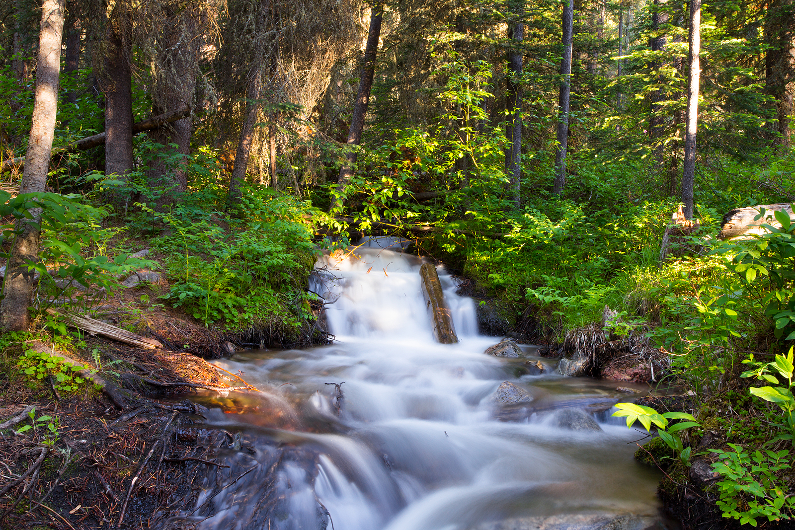
Just off Highway 191, the Lava Lake Trail is one of Big Sky’s best hikes. The 6-mile round-trip trail takes you through forested hills and past small waterfalls before reaching a clear alpine lake. Even if you don’t do the full hike, this is a quiet stop to breathe in the fresh mountain air and enjoy the scenery.
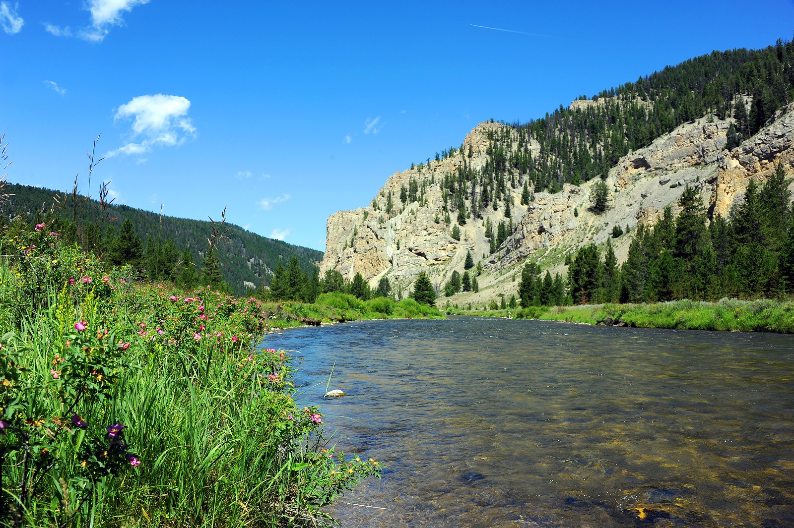
Start your drive along the Gallatin River, one of the most scenic rivers in Montana. This fast-flowing river is popular for fly fishing, kayaking, and even appeared in the movie A River Runs Through It. As you drive beside the rapids, you’ll find scenic pull-offs to snap photos, watch wildlife, or just enjoy the views.
At 10 miles long and nearly 500 feet deep, Lake McDonald is the largest lake in the Glacier National Park Tour for the Going-to-the-Sun Road.
One of the park’s most popular lakes for swimming and paddling with emerald-hued waters, it’s also famous for the brightly colored ‘rainbow rocks’ that line the shoreline. The historic Lake McDonald Lodge is located on the lake’s eastern shore with a European Swiss chalet style, crossed with a rustic hunting lodge. It’s worth a stop and peek inside if you aren’t lucky enough to be staying there.
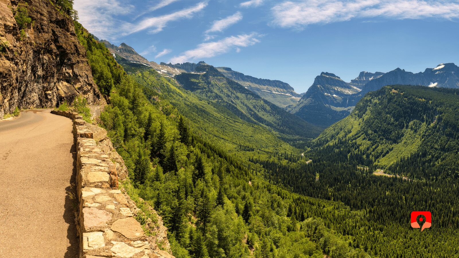
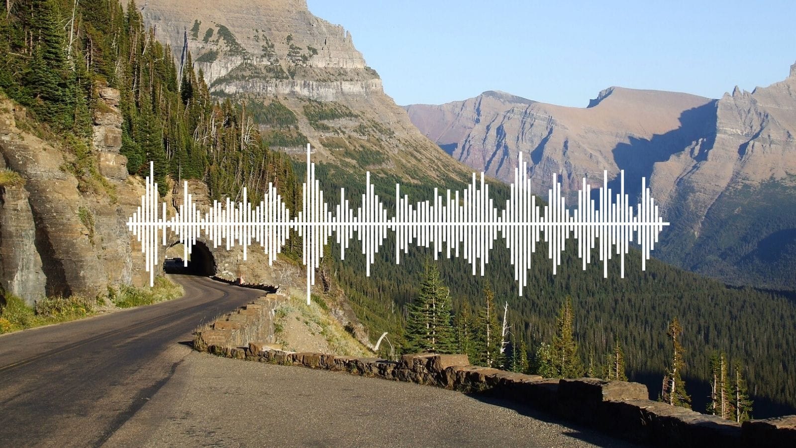
Along the Going-to-the-Sun Road drive in the Glacier National Park Tour, we still make use of engineering marvels like Triple Arches and the Tunnels.
Meticulous surveying and blasting ensured the stability of the mountainside. These creative solutions allow a creek to pass underneath the road at Triple Arches and through the mountainside at East and West tunnels when there was just nowhere to bench the road. Now imagine this road in the winter when snow drifts can reach 90 feet in sections.
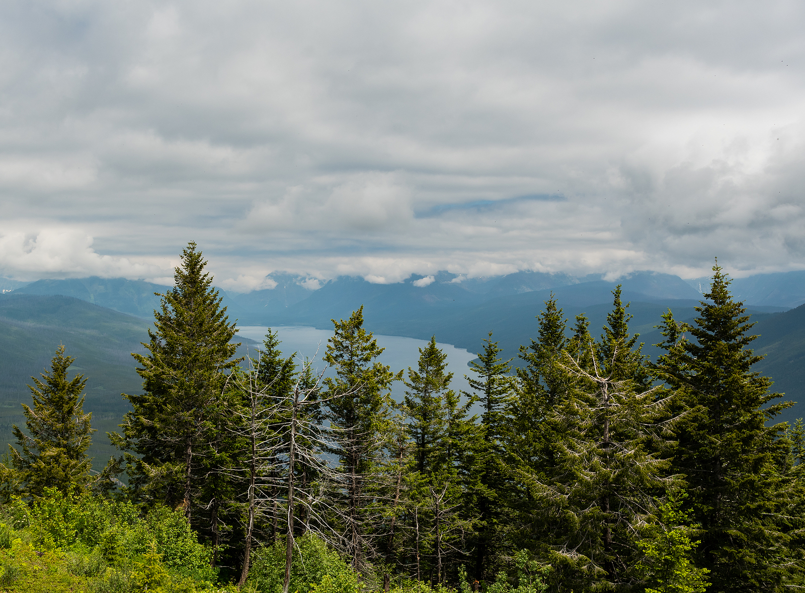
Our Glacier adventure begins in the charming Apgar Village, the park’s western gateway nestled at the foot of Lake McDonald. This picturesque village offers a quintessential national park atmosphere with its historic buildings, quaint shops, and stunning views across the crystal-clear waters of the lake towards the towering mountains beyond. Take some time to soak in the ambiance, perhaps browse the local crafts, or simply admire the iconic scenery. Apgar provides the perfect introduction to the grandeur that awaits us within Glacier National Park. It’s a place where the beauty of the lake meets the majesty of the mountains.
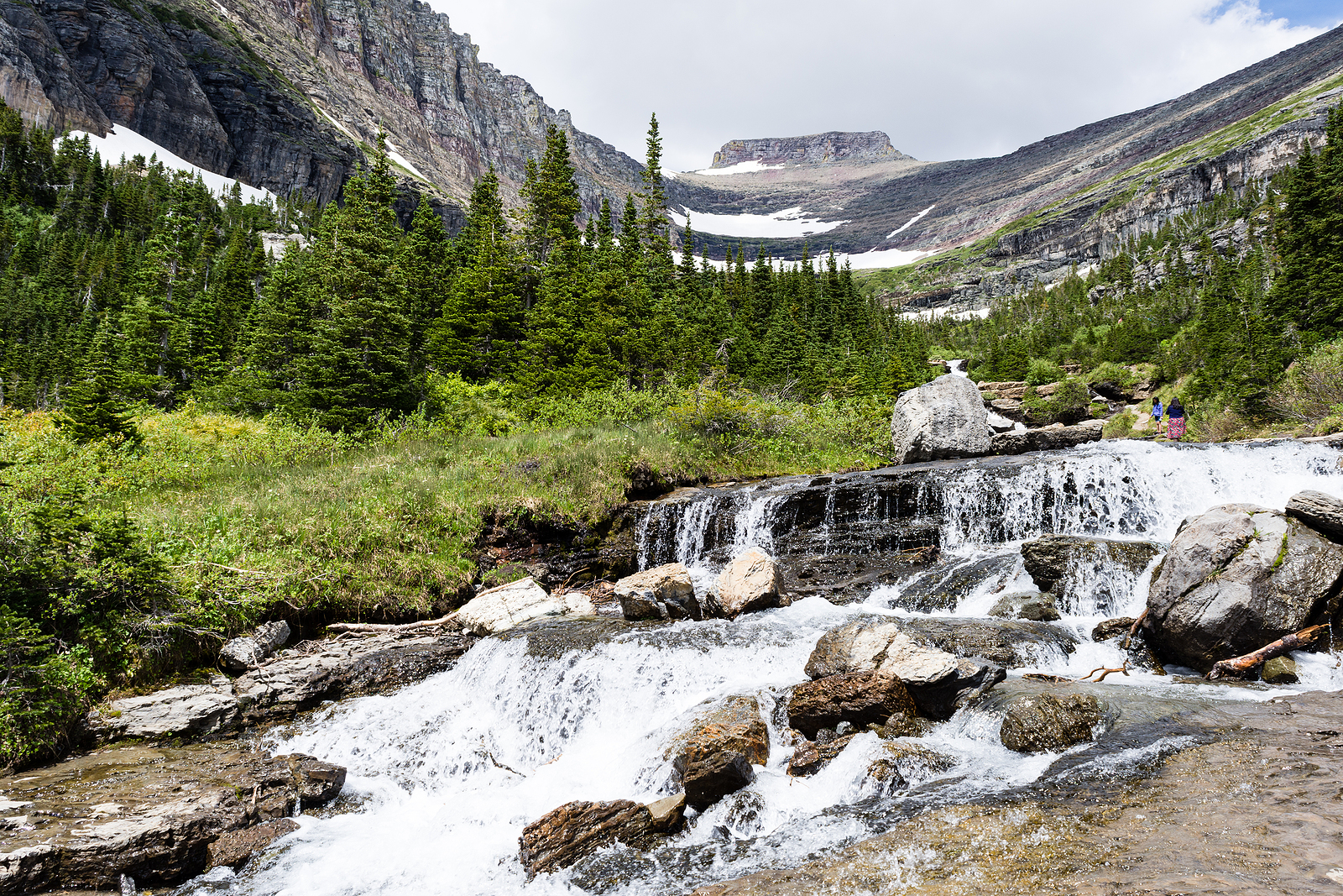
Lunch Creek is a peaceful spot just off the road, where a clear mountain stream winds through green meadows. It’s a quiet place to sit by the water, watch for wildflowers, and enjoy a slower moment in Glacier. Bring a snack or just soak in the stillness.
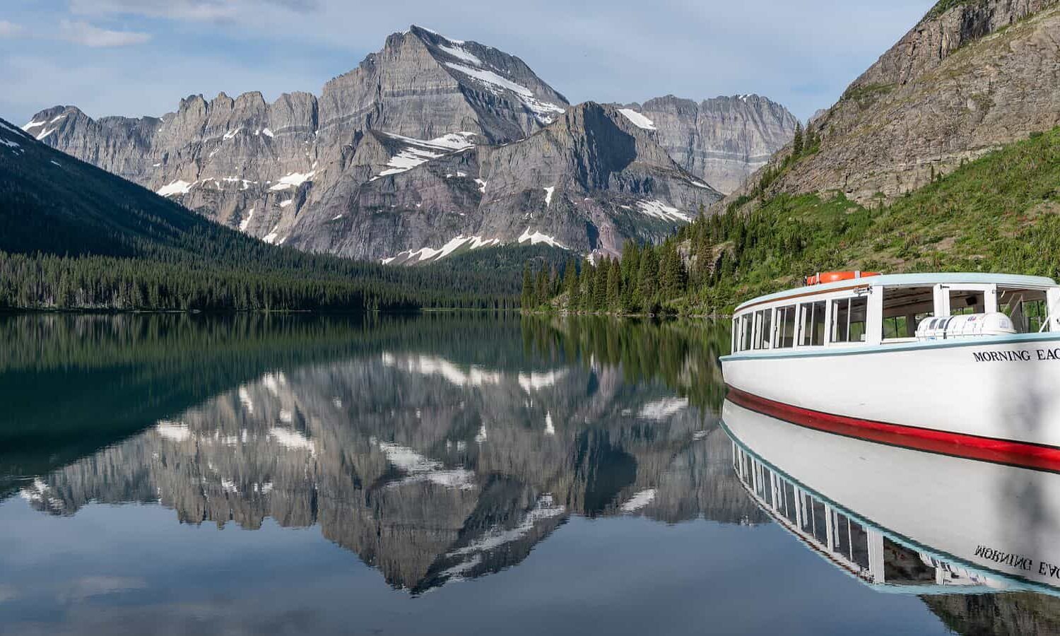
The Many Glacier area is often called the “Switzerland of North America” and it’s easy to see why. Here, jagged peaks rise above turquoise lakes, and the historic Many Glacier Hotel adds timeless charm. Walk the lake’s edge, spot wildlife, and take in some of Glacier’s most dramatic views.
At 6,646 feet, Logan Pass is the highest point on the Going to the Sun Road in the Glacier National Park Tour.
It’s located on the Continental Divide, the tipping point for water drainage to flow east or west across North America. You’ll often spot mountain goats and bighorn sheep grazing in the meadows, and from here you can hike the popular Highline Trail and Hidden Lake trails for a high alpine adventure.
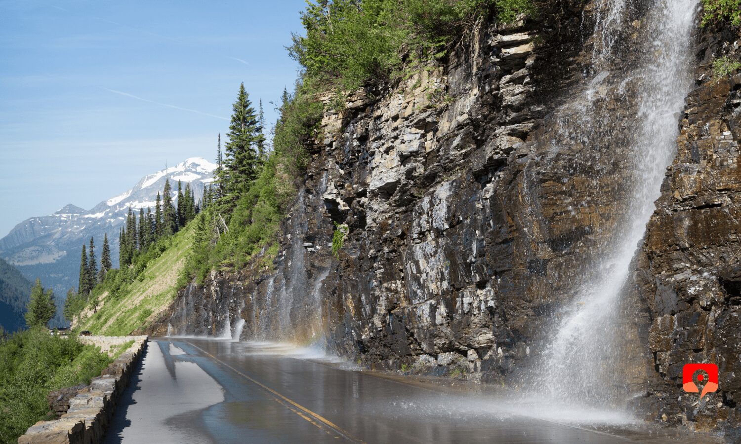
The Weeping Wall is a seasonal waterfall where snowmelt spills down the rock face and onto the road. If you drive by in early summer, you might get a cool spray on your windshield. It’s a fun, quick stop and one of Glacier’s most unique roadside features.
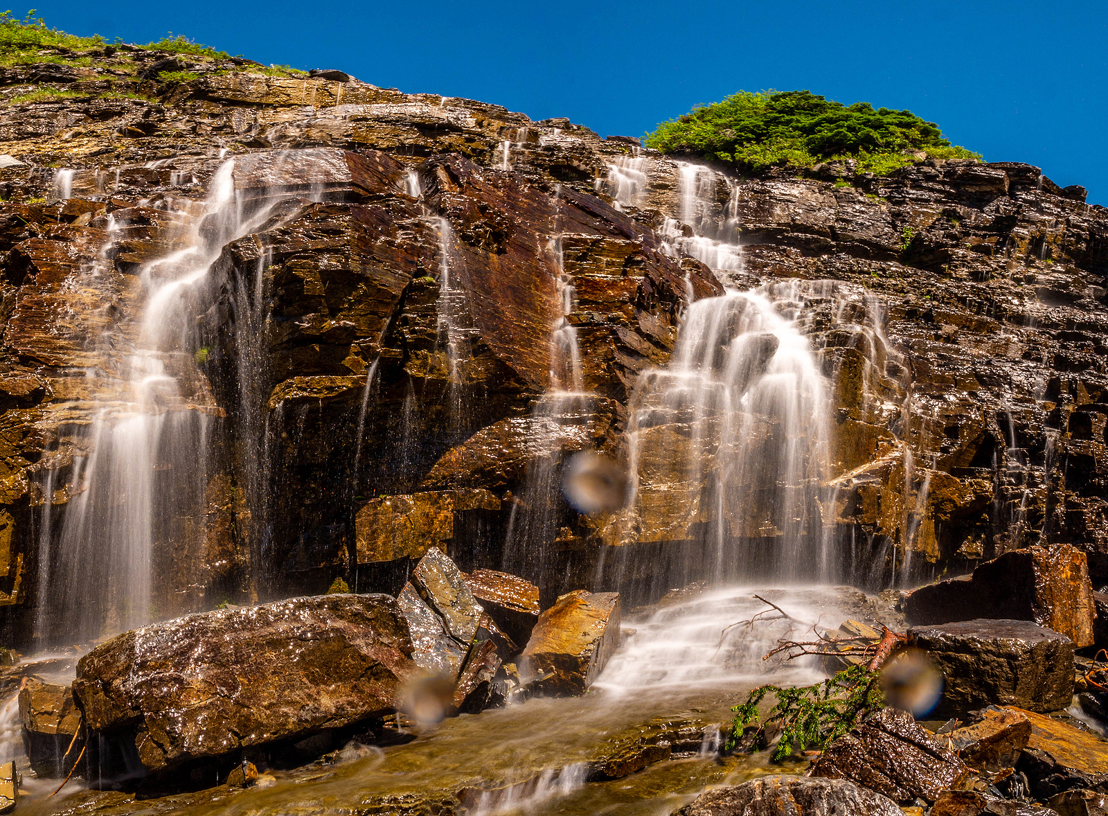
Oberlin Bend offers stunning views of Mount Oberlin and the surrounding peaks. From this pull-off along the Going-to-the-Sun Road, you’ll see deep valleys and high ridgelines that show off the park’s alpine beauty. It’s a great place for wide-angle photos and fresh mountain air.
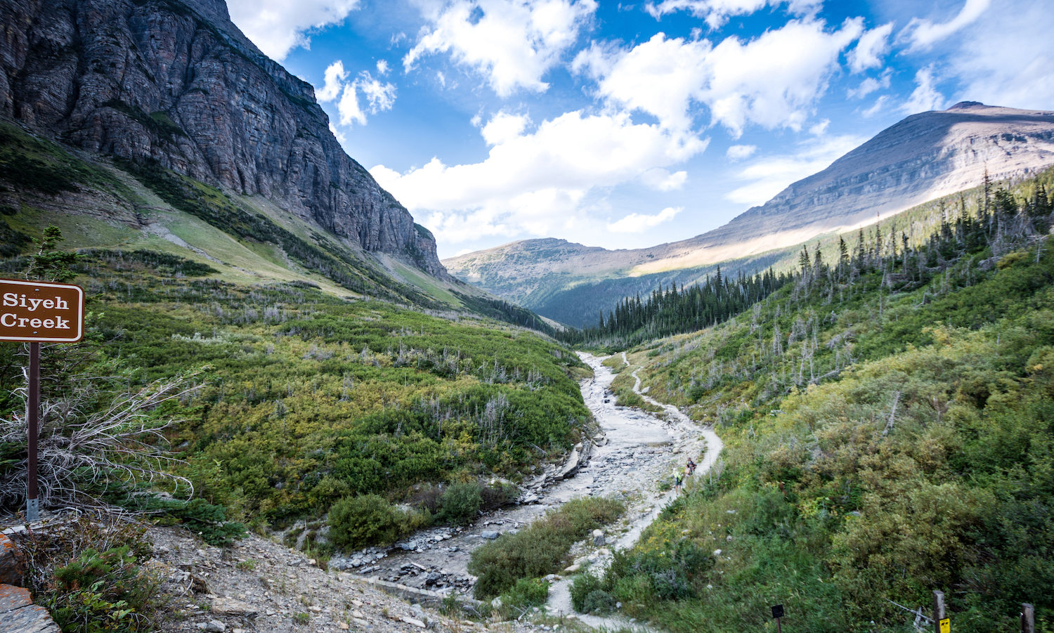
At Siyeh Bend, two clear glacial streams come together, creating a vivid splash of blue-green water against a rocky landscape. This is a striking photo spot and a good place to see the power of water shaping the mountains. The dramatic scenery here shows off the heart of Glacier’s rugged beauty.
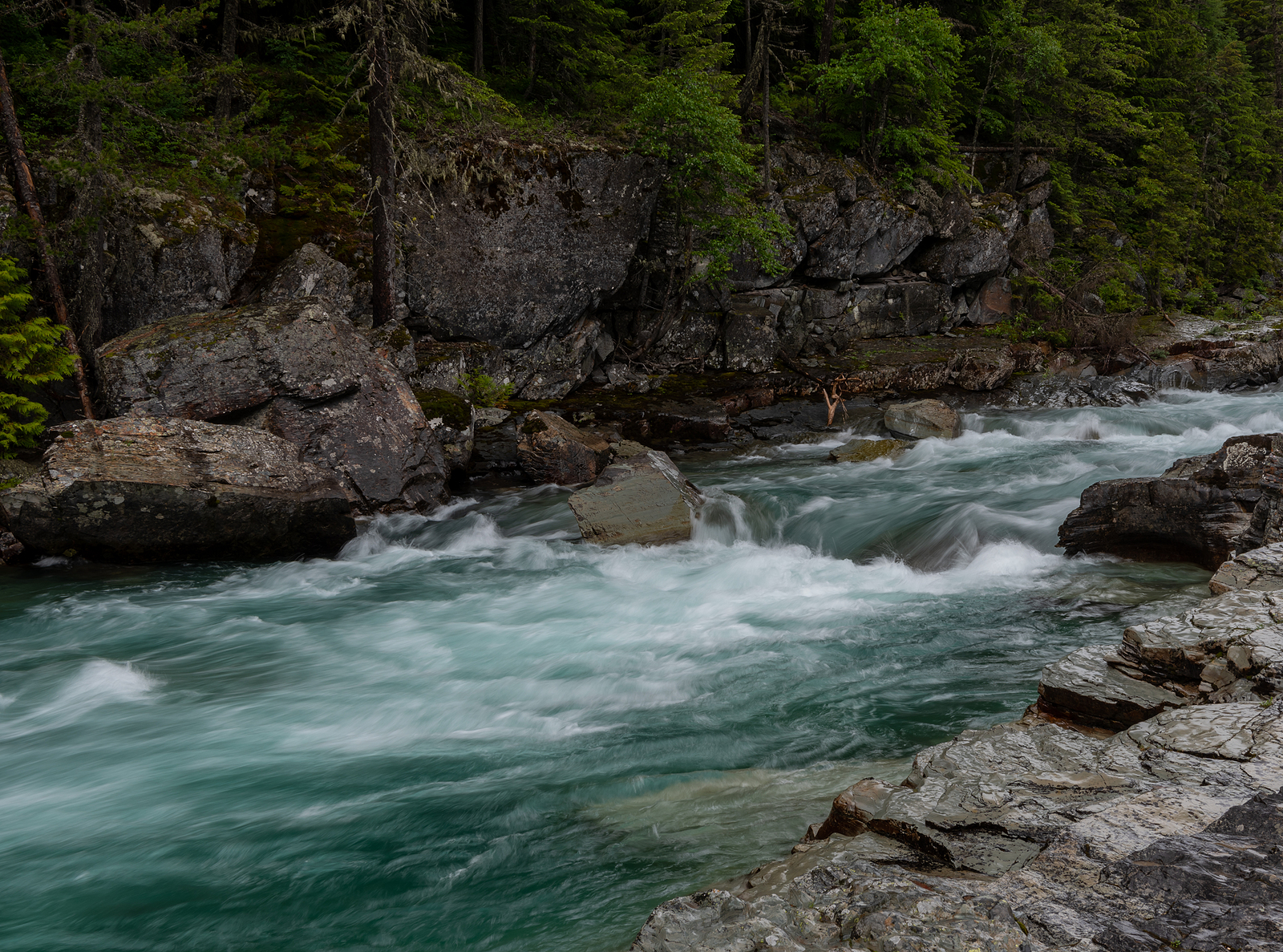
Haystack Falls is a roadside waterfall that tumbles down the cliffs near the Going-to-the-Sun Road. It’s an easy stop and a great place to stretch your legs, listen to rushing water, and grab a photo. Look for it during spring and early summer, when snowmelt feeds the falls.
Wild Goose Island is one of the most picturesque photo locations in the Glacier National Park Tour.
This tiny island is home to a handful of trees and sits only 10 feet above the water, but this seems only to add to the beauty at one of the most photographed locations on the Going-to-the-Sun Road. Sitting in the middle of Saint Mary’s Lake completely surrounded by mountains, this iconic spot is best photographed at sunrise.
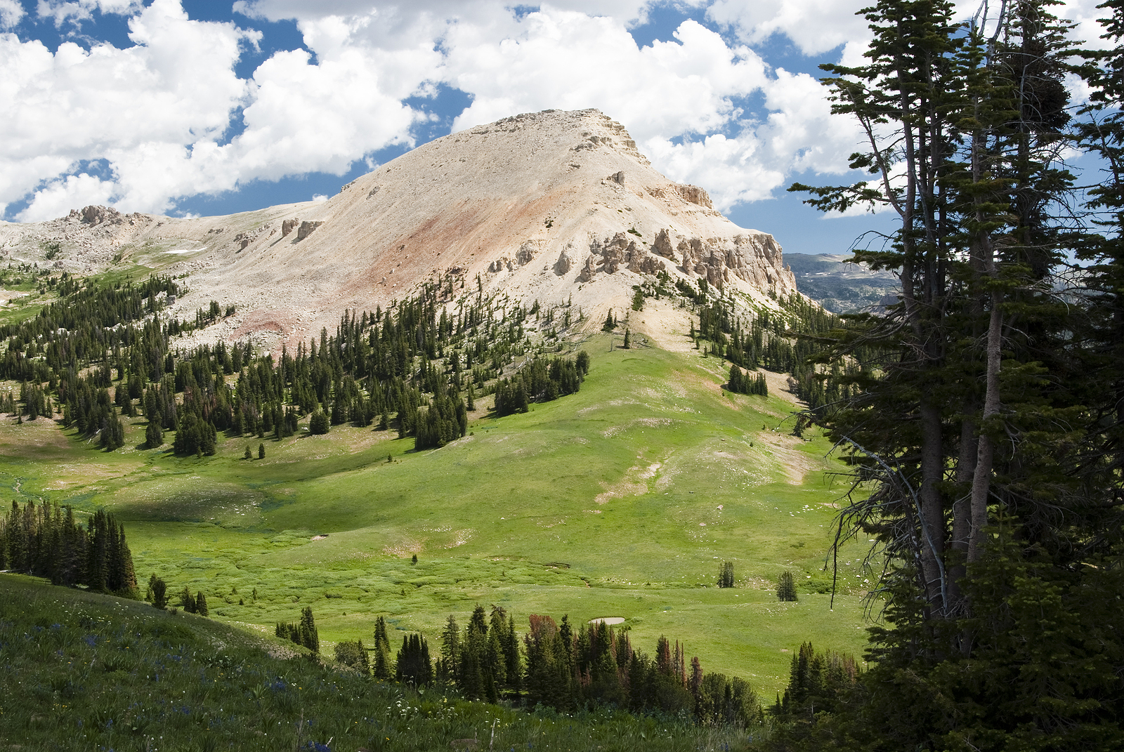
Just off the main road, Clay Butte Lookout offers a big-picture view of the Beartooth Mountains. From up here, you’ll see wide valleys, wildflower meadows, and distant peaks. The lookout tower often has signs that explain the area’s geology, wildlife, and history. It’s a great stop to get your bearings and enjoy a quiet moment above the trees.
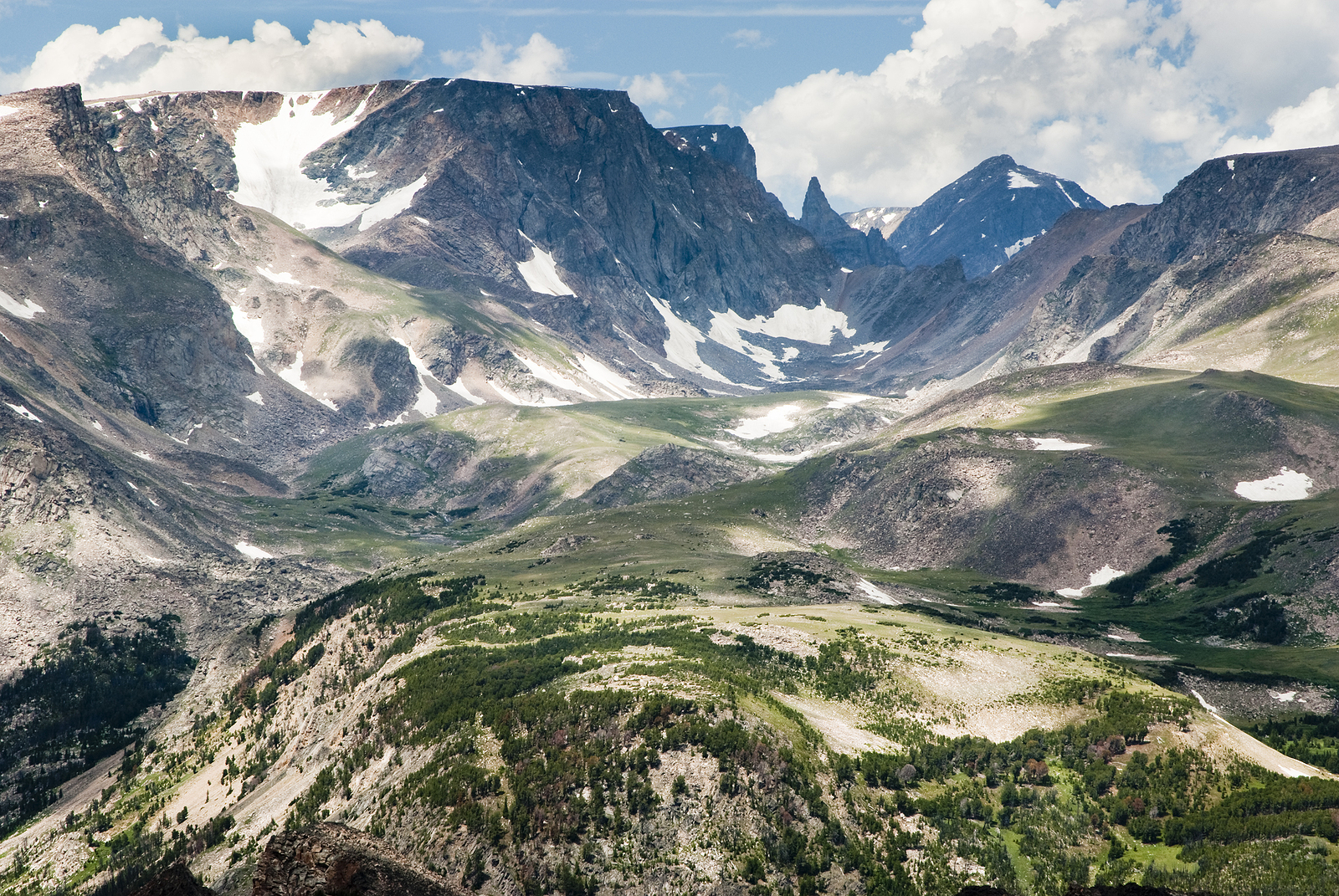
Bears Tooth View is one of the top scenic stops along the Beartooth Highway. From here, you’ll see the sharp rock spire called the “Bear’s Tooth”, the landmark that gave this mountain road its name. It’s a great spot for a photo, with epic views of the mountains all around. You’ll also learn how this wild landscape was shaped over time.
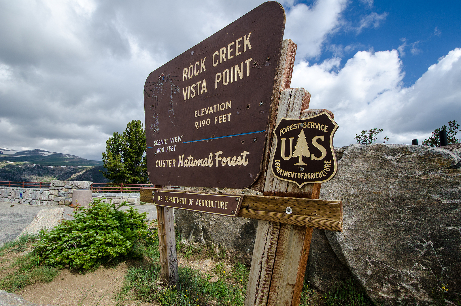
Vista Point gives you a bird’s-eye view of Rock Creek Valley. This is where the Beartooth Highway begins its steep, winding descent toward lower elevations. You’ll see forests, meadows, and the curving Rock Creek far below. It’s a perfect place to stop, take photos, and admire how this scenic drive cuts through such dramatic terrain.
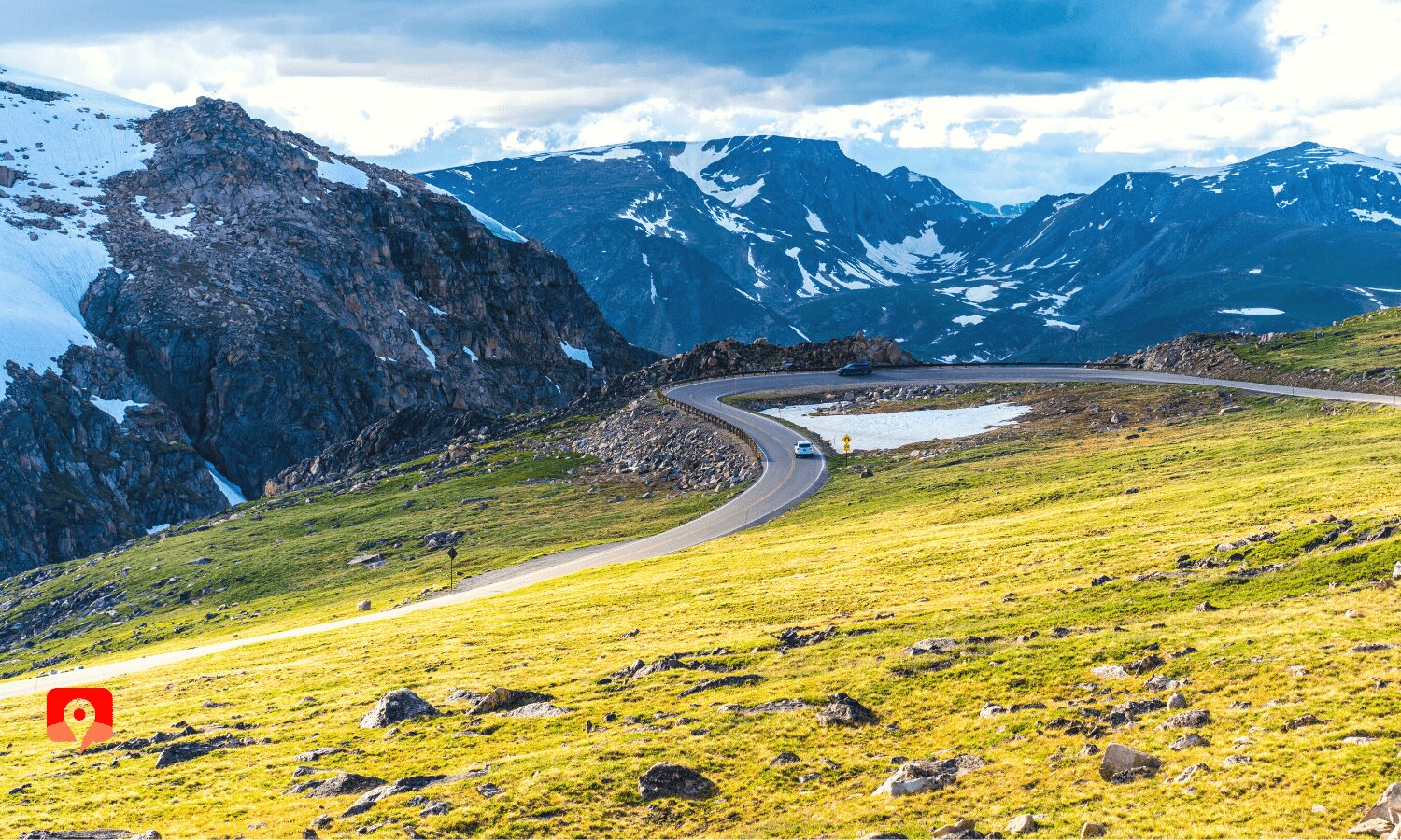
Before you leave the high country, don’t miss West Summit Overlook. It’s one of the last big viewpoints heading west on the Beartooth Highway. From here, you can look back at the peaks and alpine scenery you’ve just traveled through. It’s a great place to pause and take in one last view before the road winds down.
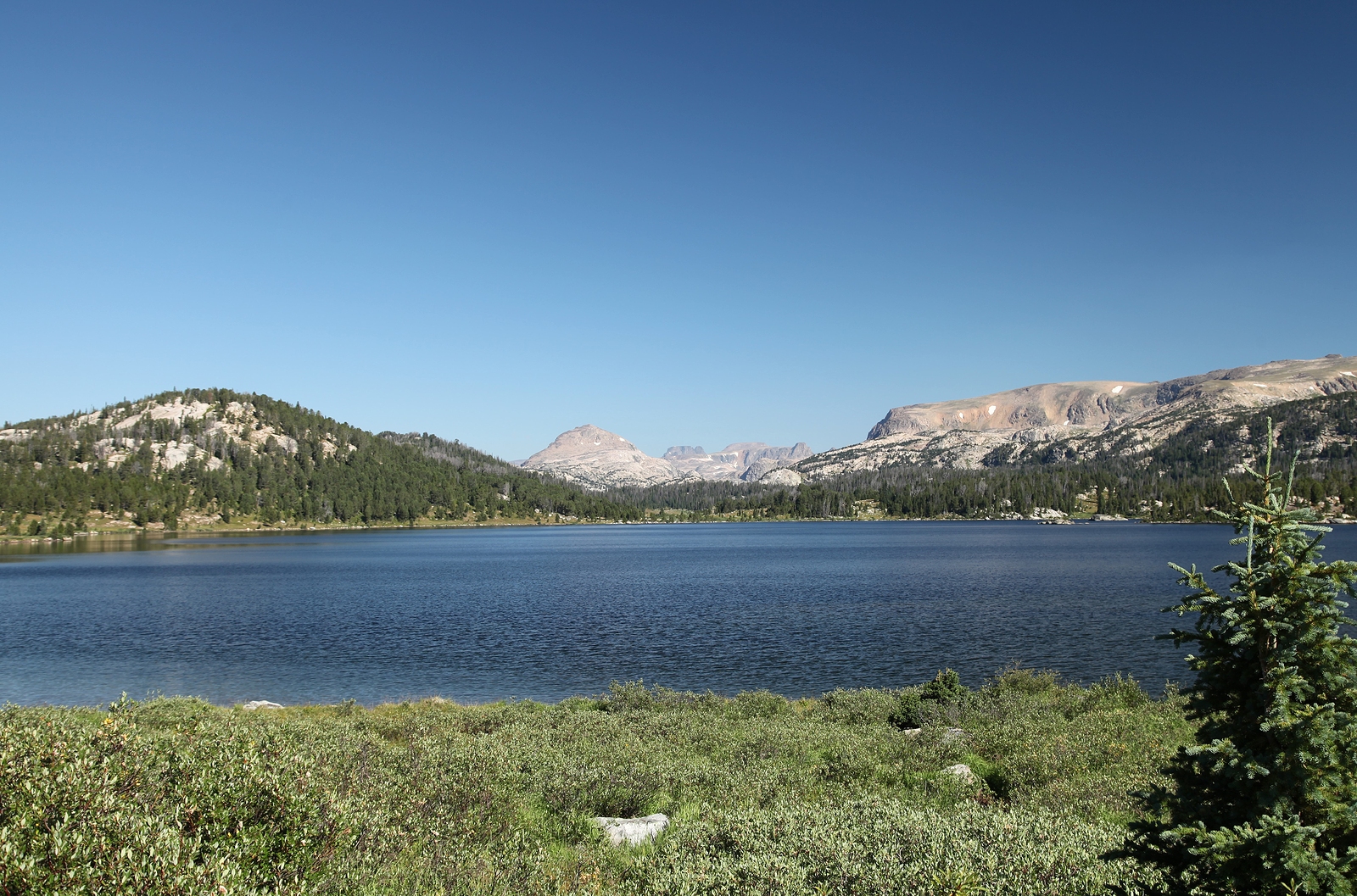
Island Lake is a peaceful alpine lake just off the Beartooth Highway. With clear water and mountain reflections, it’s one of the prettiest spots along the route. In summer, colorful wildflowers bloom around the shore. It’s a nice place for a short walk, a picnic, or just to relax and enjoy the view.
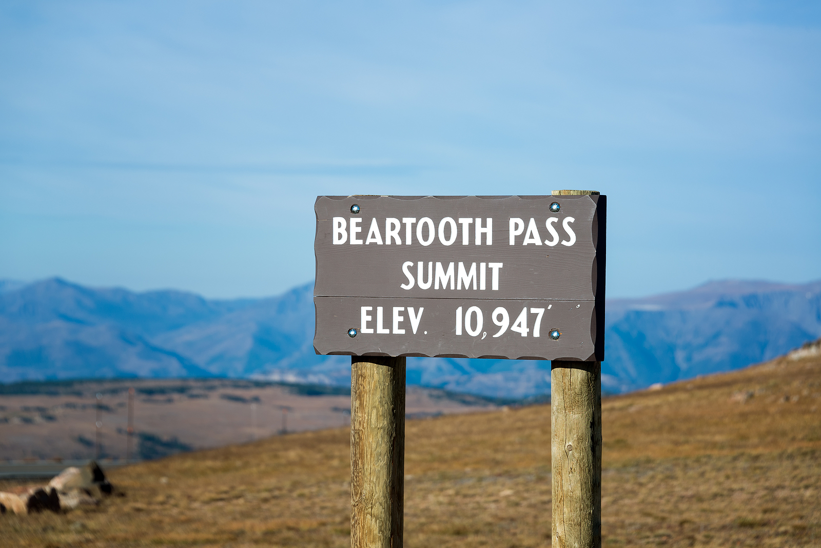
Beartooth Pass is the highest point on the Beartooth Highway, over 10,000 feet above sea level! At the summit, step into cool mountain air and enjoy wide, sweeping views of the Absaroka and Beartooth Mountains. This is one of the most scenic spots on the drive, where you might even see snow in summer. It’s also a great place for photos and to take in the scale of the landscape.
So, let’s take a survey here. What is the lowest hourly wage you’ve worked for? Over three dollars? That’s luxury!
The guys that worked on this road would have to have been some of the toughest people I can think of. As we move up the road, you will see why.
Remember that this was 1920’s and 30’s, entering the Great Depression when men were desperate for work and even though this work was very seasonal – they took it. It was a hodgepodge of men from all over the world that were paid 50 cents to $1.15/hour.
At the peak of construction over 300 men were scattered through the valley living in tent camps with many different skills and pay. The labourers were the cheapest to employ and they were the ones down in that 50 cents/hour range.
Cat skinners – those are the guys that drove the bulldozers and graders, were paid the best, along with the “Powder Monkeys. Next to the Powder Monkey…who was the most important person on the crew? The Camp Cook of course!
As well as the dedicated workforce, local farmers and their boys were also hired on and that helped the communities nearby.
One young Montana lad showed up to work as a cat skinner and the foreman waved him off, saying he was too young. The kid replied, “See that guy working the grader? That’s my little brother and I taught him everything he knows.” He got hired on the spot.
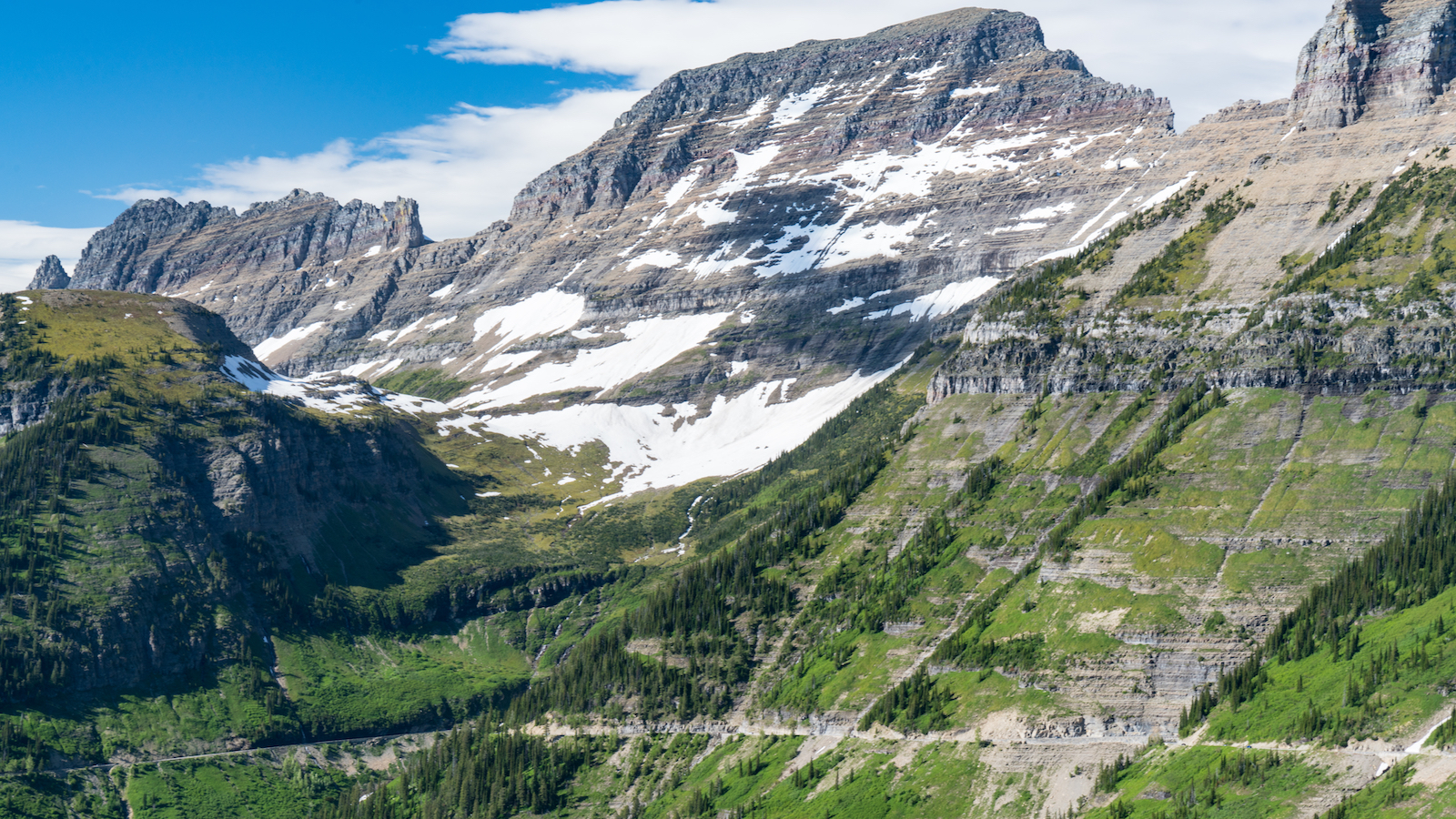
As we go along, we will come to some places where there are gaps in the trees and we’ll get a quick but impressive view back up into the mountains where we came from. I can only imagine how the constructors felt when they looked up to where the plans told them they were supposed to create the road!