00:00

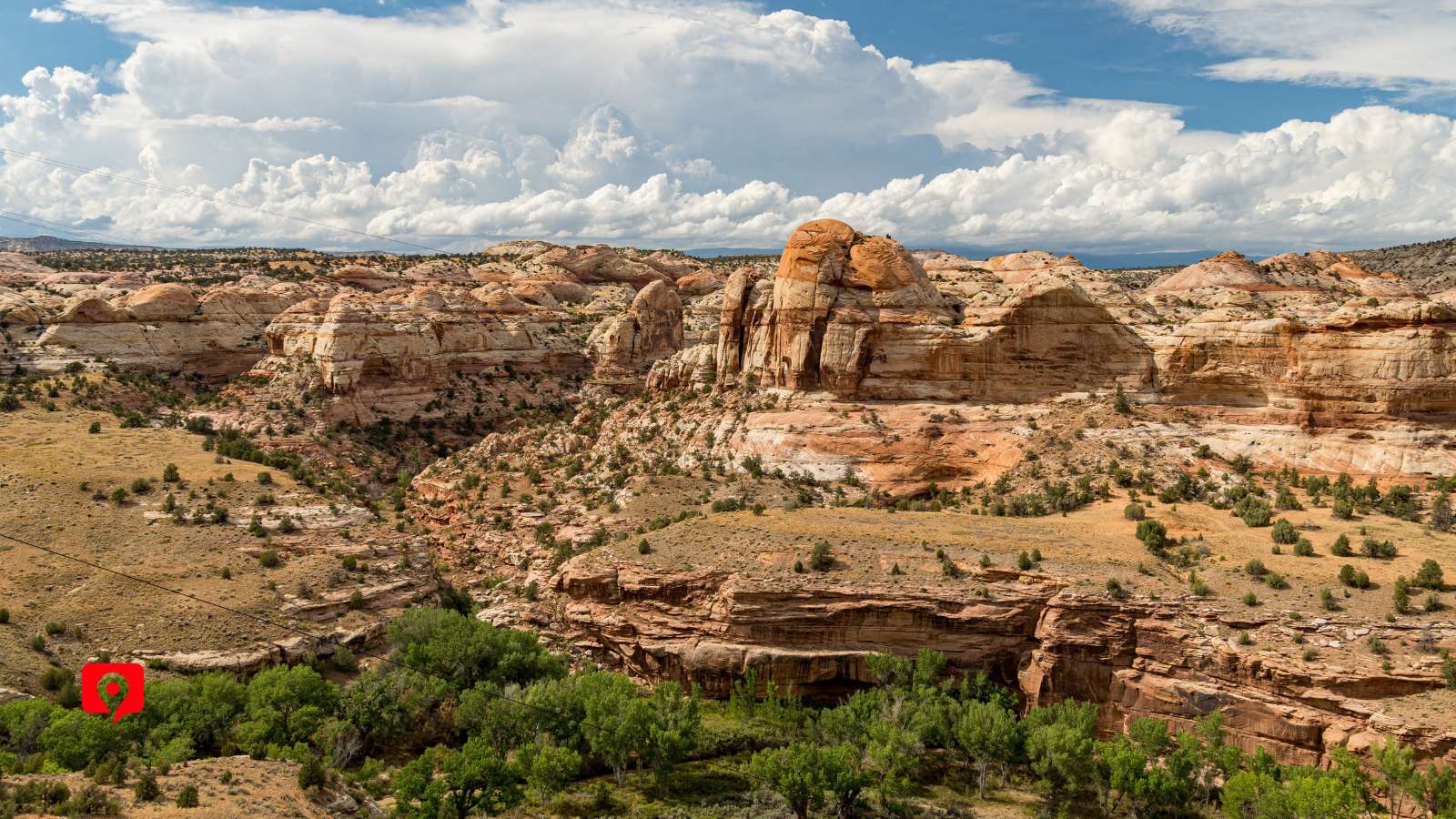
Driving along UT Route 12 is the most accessible way to see the fantastic stone sculptures within Escalante National Monument, right between Bryce Canyon and Capitol Reef. The rest of the massive, 2-million-acre area is only accessible through primitive roads. On Route 12, we’ll drive across one of the huge stone steps known as the Grand Staircase. From the Powell Point Vista, get a birds-eye view of the multicolored sandstone steps. Stops along the route like Calf Creek Viewpoint, Larb Hollow Overlook, and Big Horn Canyon Scenic Overview offer sweeping views of desert vistas, and driving across Hogback Ridgeline puts us on the top of the world, with canyons dropping sharply to either side. Brave adventurers can take the optional detour to Spooky Gulch to descend into the narrow slot canyon, where the stone walls block out the sun, or adventurers can access the Escalante River Trail, the Upper Calf Creek Falls Trail from the route. For an easier hike, take the Mossy Cave Trail.
Approach the Panguitch starting point north or south along US Route 89, which also leads to other popular destinations like Zion National Park and Lake Powell in the south.
From Salt Lake City, take I-15 south, then take Route 20 east, then turn onto Route 89 heading south into Panguitch.
From Las Vegas, take I-15 north, then take UT 20-east, then take US 89 south, leading into Panguitch.
Approach the Torrey starting point along UT Route 24, which is the primary highway through Torrey and connects to Route 12.
From Salt Lake City, take I-15 south, then take US 50-East at Scipio. Continue on I-70 East, then connect to UT Route 24.
From Las Vegas, take I-15 north, then UT-20 East, then take US 89 North to Route 12.

The closest major airports are in Las Vegas (LAS) and Salt Lake City (SLC) are still quite a drive away – Panguitch is about four hours away from either city.
Many travelers choose to fly into one airport, take the scenic trips through Escalante National Monument and Capitol Reef National Park, then fly home from the other city to avoid backtracking.
Alternatively, you could choose to fly in and out of either Salt Lake City or Las Vegas and make a big loop through several scenic areas, like Bryce Canyon National Park, Capitol Reef National Park, and Grand Staircase National Park, staying multiple nights for a complete Utah experience.
There is no entrance fee to drive into the Grand Staircase – Escalante National Monument. It is not part of the National Park System, so there’s no NPS fee to enter.
The Calf Creek Recreation Area and the Escalante Petrified Forest State Park charge a small day-use fee.
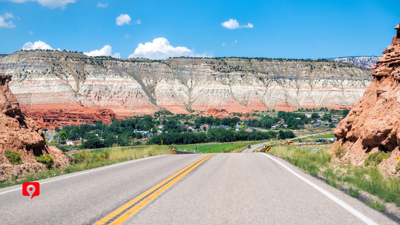
If taking the drive from Panguitch, there are numerous affordable lodging options close to the Grand Staircase- Escalante National Monument entrance. This also places you near Bryce Canyon, another popular stop.
If combining the drive through Grand Staircase-Escalante National Monument with a trip to Capitol Reef National Park, there are plenty of accommodations in the Torrey area that position you within easy access of both Capitol Reef and the eastbound route through Grand Staircase.
For a unique experience, look into staying in the tiny town of Cannonville, which lies within Grand Staircase- Escalante National Monument itself along Route 12. There are several bungalows available here, and while the town has limited amenities you could get an early start on the trails or watch a sunrise from one of the viewpoints.
There are campsites available along the route at Calf Creek Recreation Site, which has 13 sites that are available on a first-come, first-served basis. No trash collection provided.
Escalante Petrified Forest State Park is easy to reach from our main route along Route 12 and has campsites available with varying levels of amenities. Reserve campsites ahead of time on the Escalante Petrified Forest State Park website.
Backcountry camping is allowed in Escalante National Monument. This requires a free permit, which is available at the Visitor Center. Do not camp at trailheads and make sure to pack out all waste.

Spring and fall are the best times to visit the Grand Staircase-Escalante National Monument. The cooler temperatures make desert hiking a little safer and more enjoyable. Watch out for flash floods in the spring and definitely don’t try descending into Spooky Gulch if rain is in the forecast. You can visit in the summer, but temperatures will exceed 100 degrees. Because of its elevation, Escalante can get snow. Be sure to check for road closures before visiting, especially in the winter.
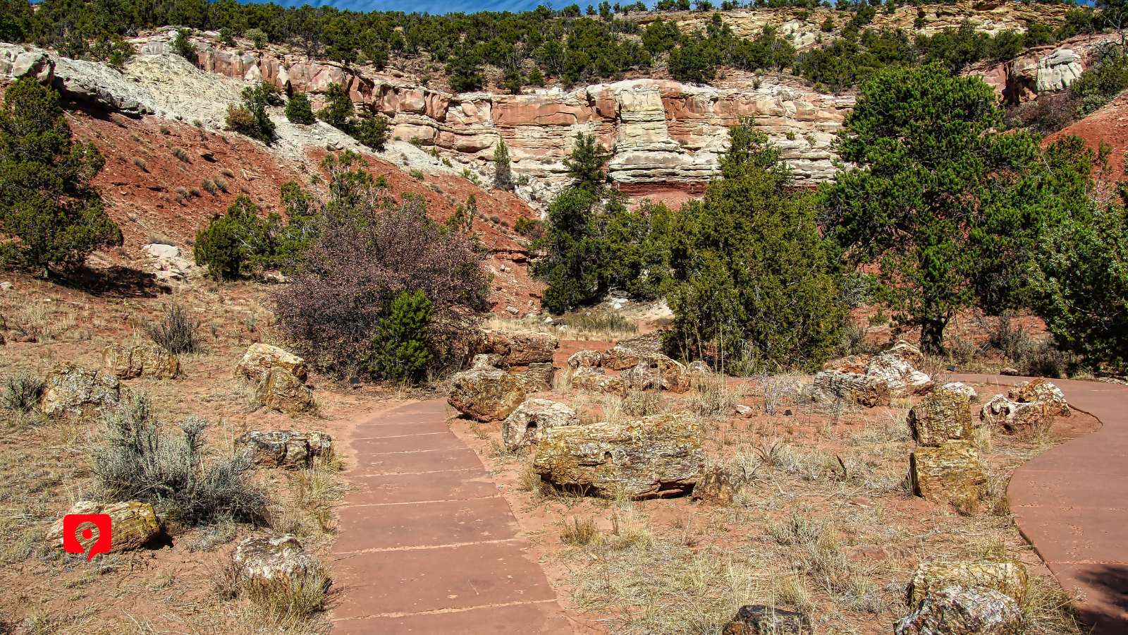
Just off of Route 12, the remains of petrified trees can still be seen at Escalante Petrified Forest. Located along the Wide Hollow Reservoir, this short side trip offers a look into the ever-changing landscape of this complex wilderness, where millennia-old relics mingle with human-built structures.
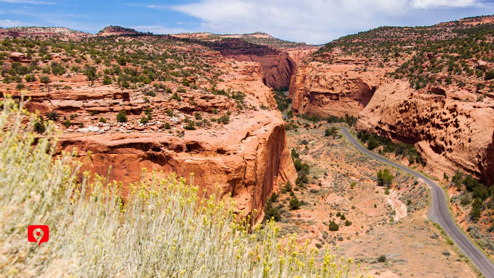
Explore the historic trail winding through the reddish-pink canyon walls. The winding switchbacks across the cliffs and stretches of sunbaked mesas reward visitors with views of pinyon pine forests, striated stone, and slickrock mesas named for the trouble horseback riders had navigating them long before roads were built. Since the first 30 miles of the side road are paved, we can access the Burr Trail Road along our main route through Route 12 and explore the Old West feel of the narrow road as long as we please before returning to the scenic byway.
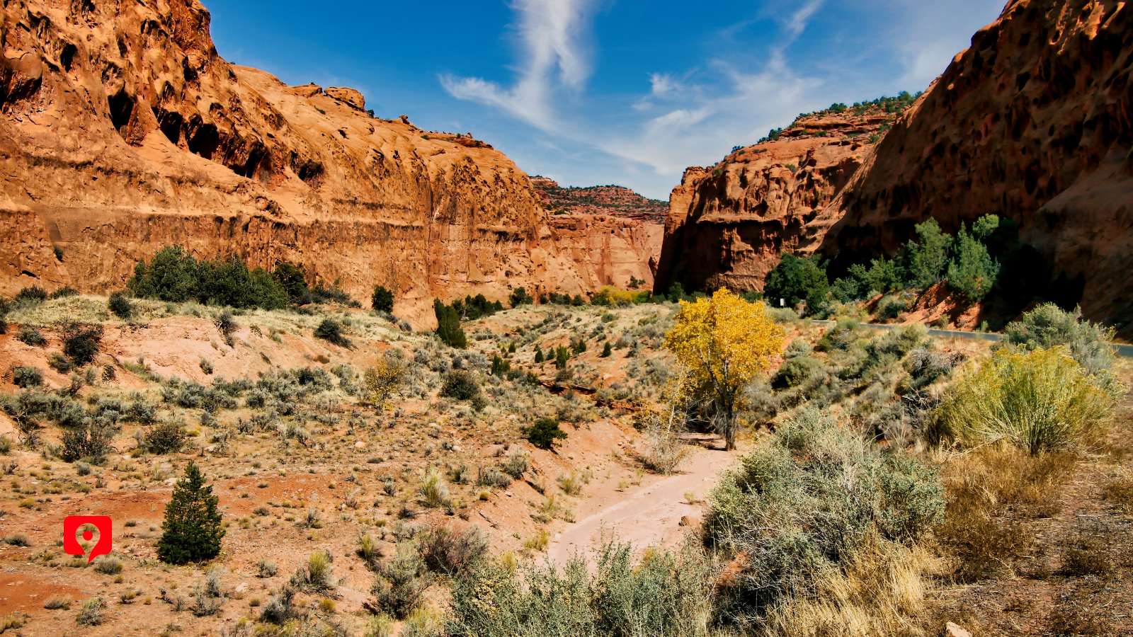
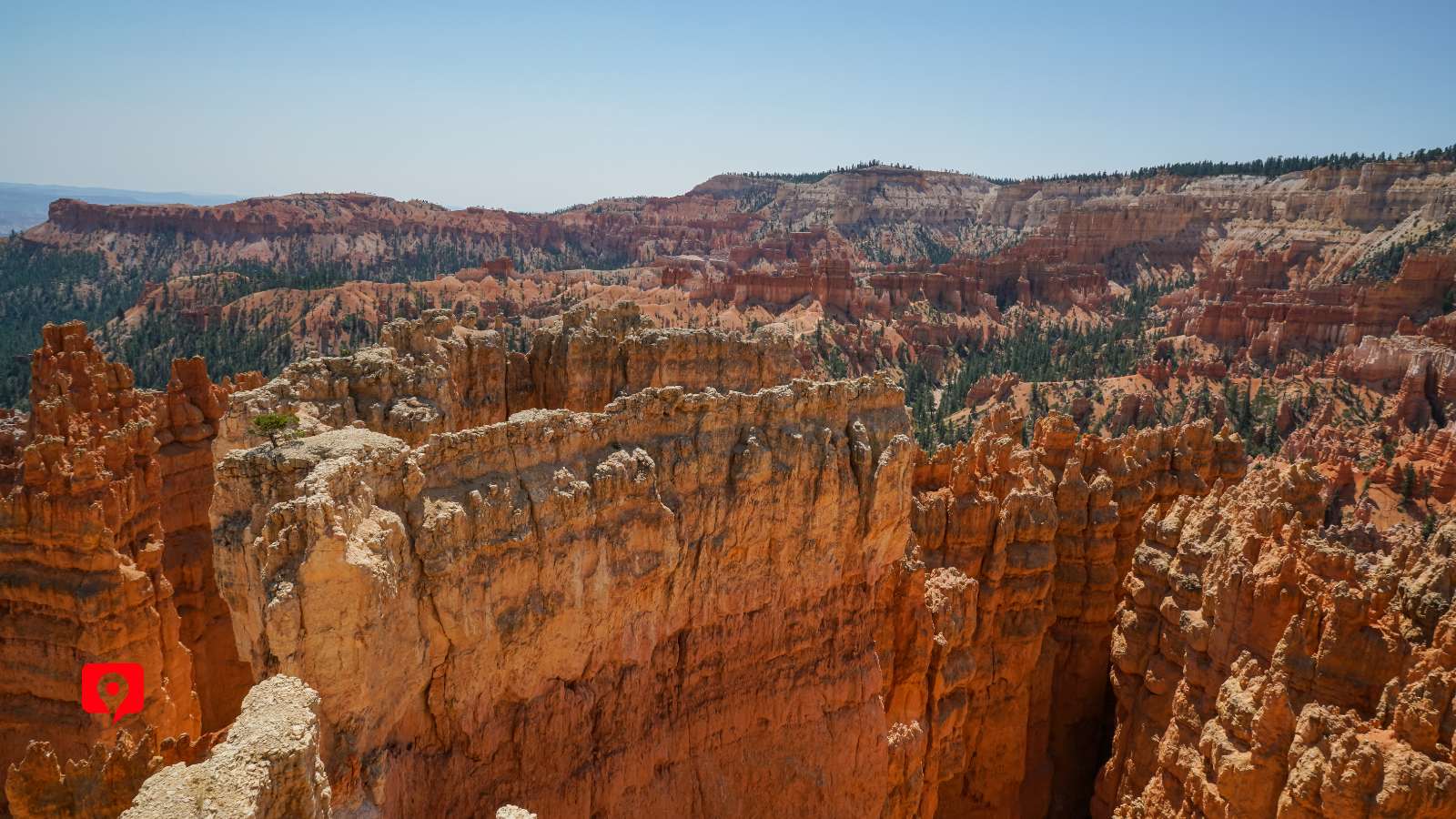
Larb Hollow Overlook shows just how high we’ve climbed along Route 12. Parking just off the road reveals a 9,000-foot-high vista of carved sandstone, forest, and endless sky. In fact, the view looks like a massive bowl or amphitheater of layered sandstone, where we can see the layers of rock laid down by eons of wind, water. The ever-changing scene captures the timelessness of the high desert and is the perfect place to grasp the enormity of the landscape we’re driving through.
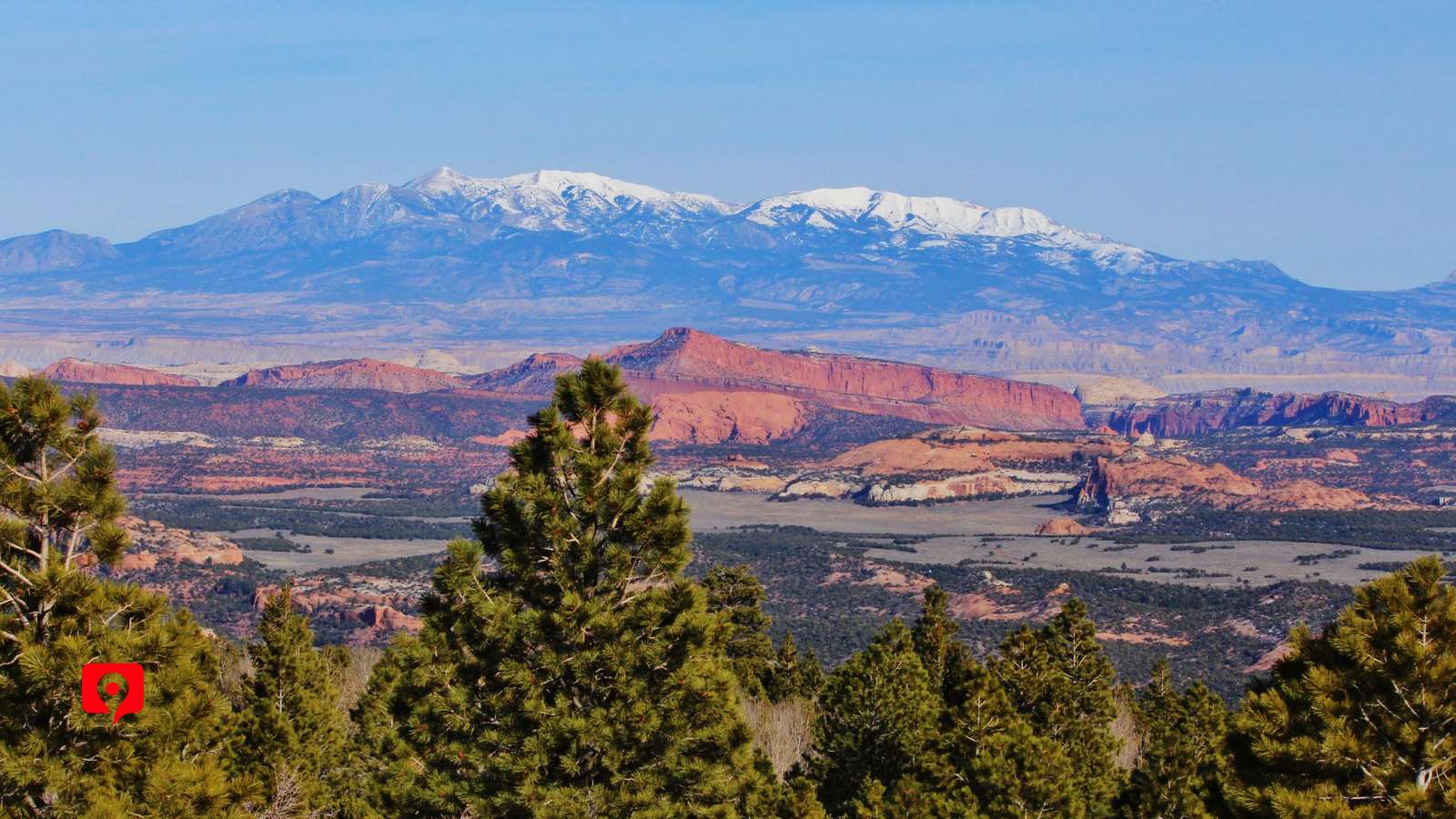
This scenic overlook is the place to stop for a birds-eye view of the grand staircase. Though we’ll drive across one of the massive “steps” along our route, this vista point provides the high vantage point to see the distinct plateaus in their distinctive stair-step pattern, stretching into the distance. We’ll see how they got their unique names of Chocolate, Vermillion, White, Gray, and Pink, all set among the vast desert landscape scattered with monoliths and deep canyons – all the product of millions of years of Nature’s handiwork.
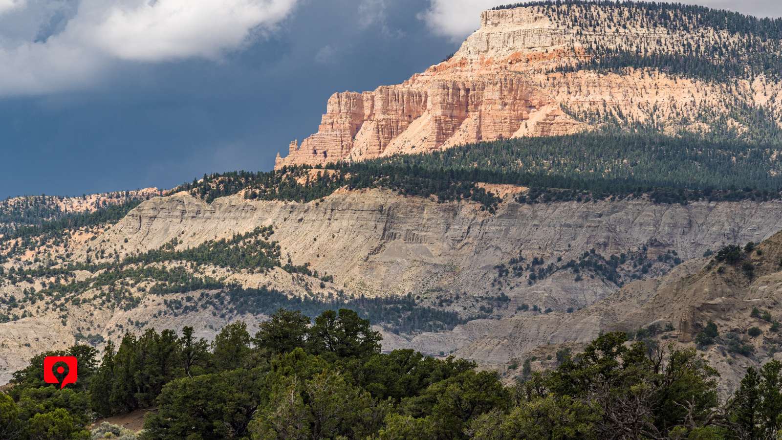
This overlook stands at over 9,000 feet above sea level, where a small, paved turnout lets visitors see the full picture of the Grand Staircase as it stretches towards the distant mountains. In the foreground, the Dixie National Forest that has sheltered millennia of travelers from the surrounding arid landscape.
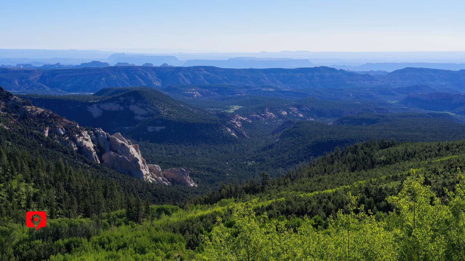
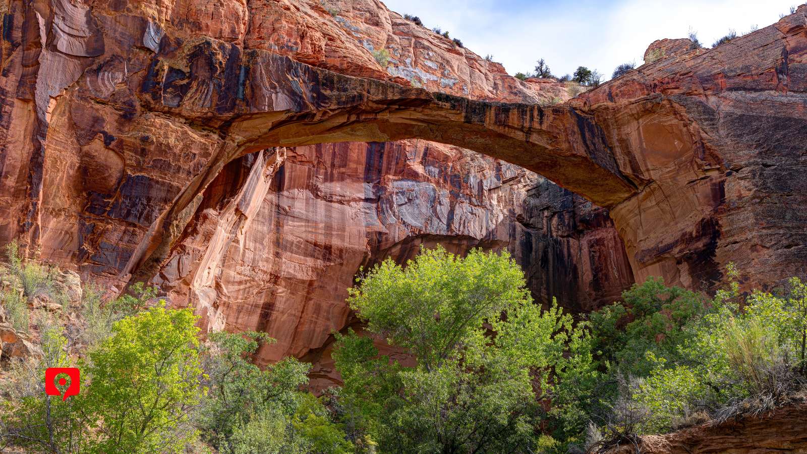
The Mossy Cave Trail is the easiest trail along our driving route, covering about a mile with approximately 120 feet of elevation gain. It takes about half an hour to hike. It leads to the human-dug Tropic Ditch Falls, which pioneers constructed in the 1880s. It’s also a great way to get a canyon experience without a strenuous hike. Look for the rocky overhang clustered with moss, which is where the trail gets its name.
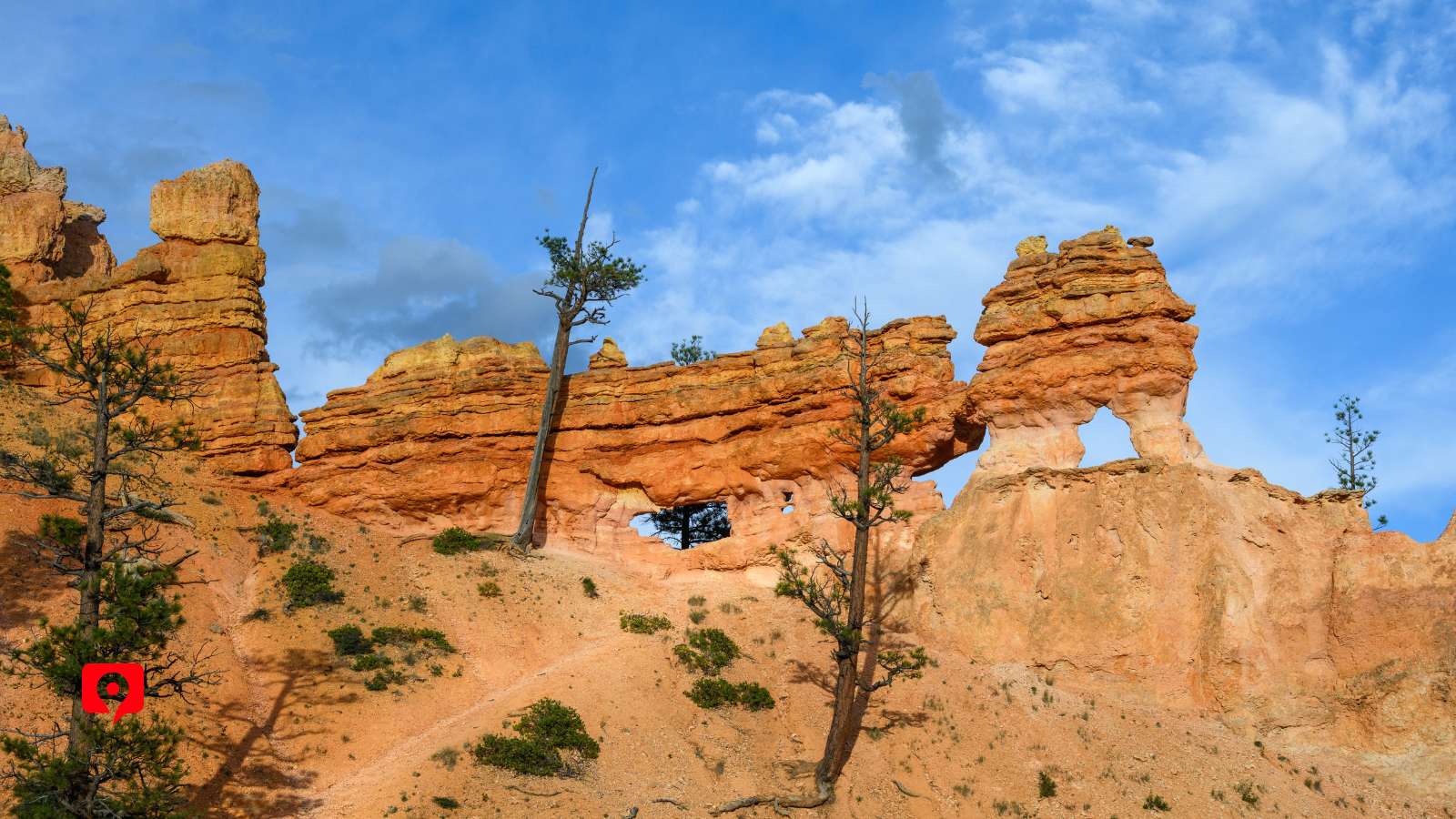
Escalante River Trail covers about six miles and takes a couple of hours. This out-and-back trail lets visitors get a close-up view of the Escalante River. Your shoes might get wet on this one. The rosy sandstone provides a beautiful contrast to the desert plants here, especially in the spring when wildflowers are in bloom.
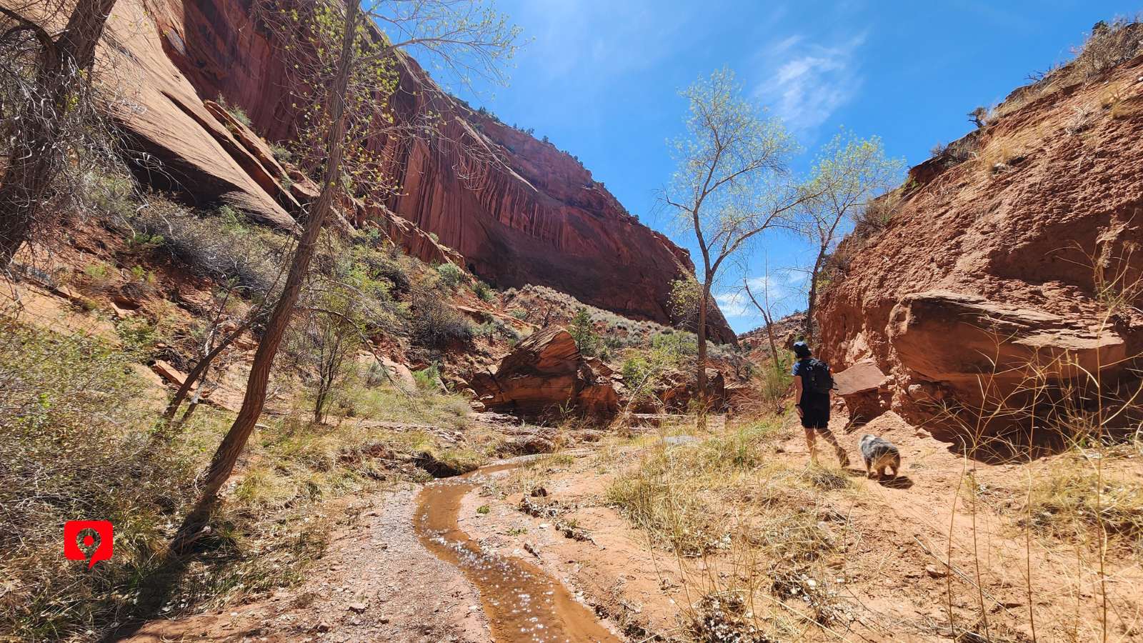
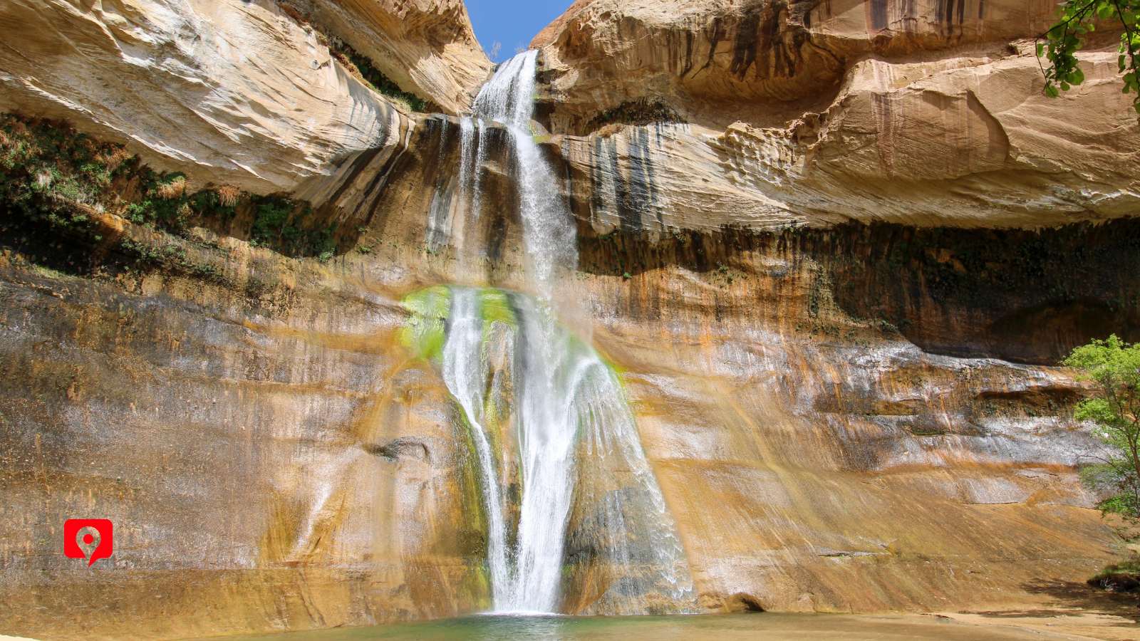
Upper Calf Creek Trail is a challenging hike that leads two miles out-and-back to an 87-foot waterfall sweeping down the curved bowl of pale sandstone rock and a shallow natural pool. The route is extremely steep with almost no shade, so hike this one with advanced preparation.
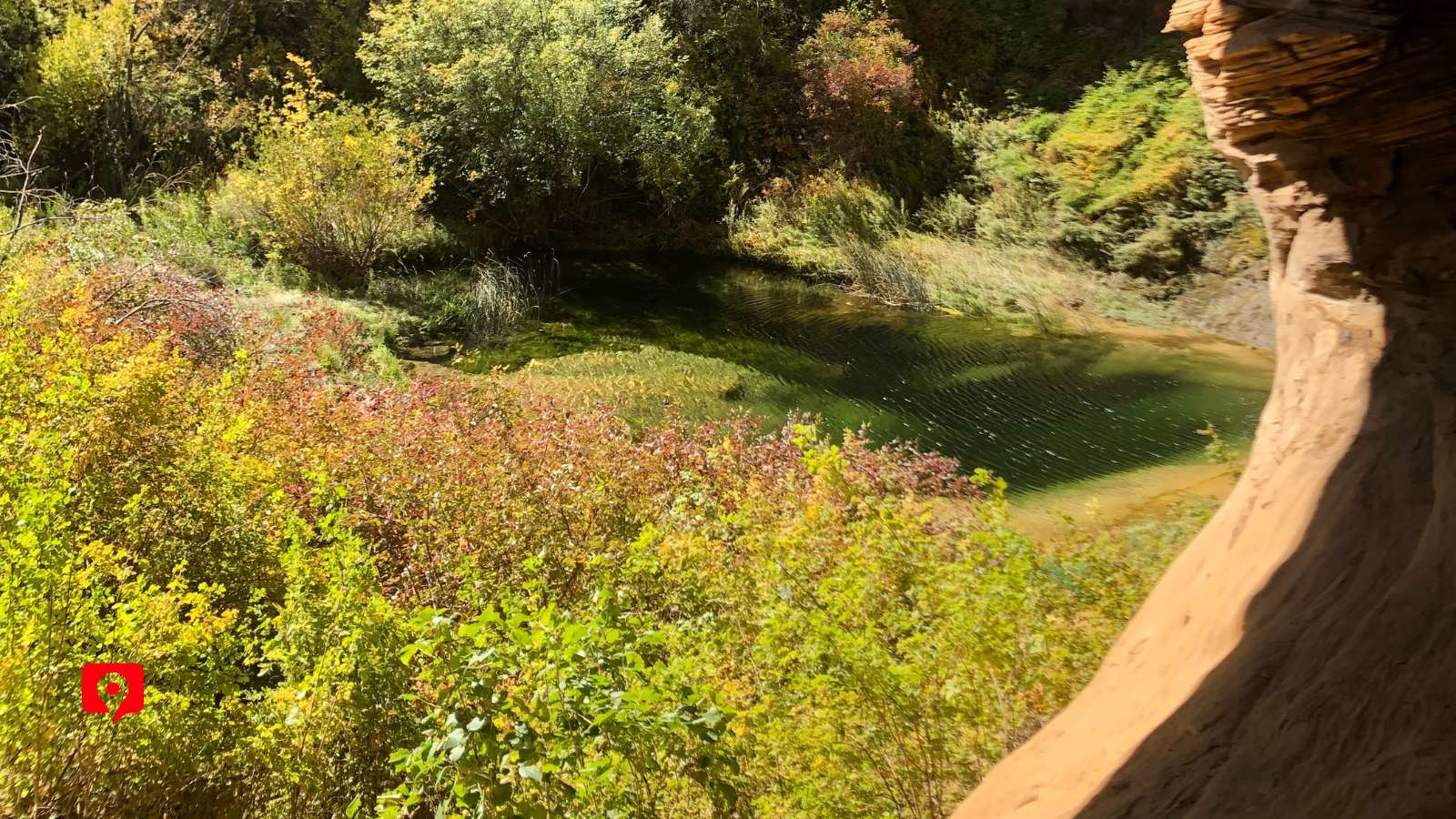
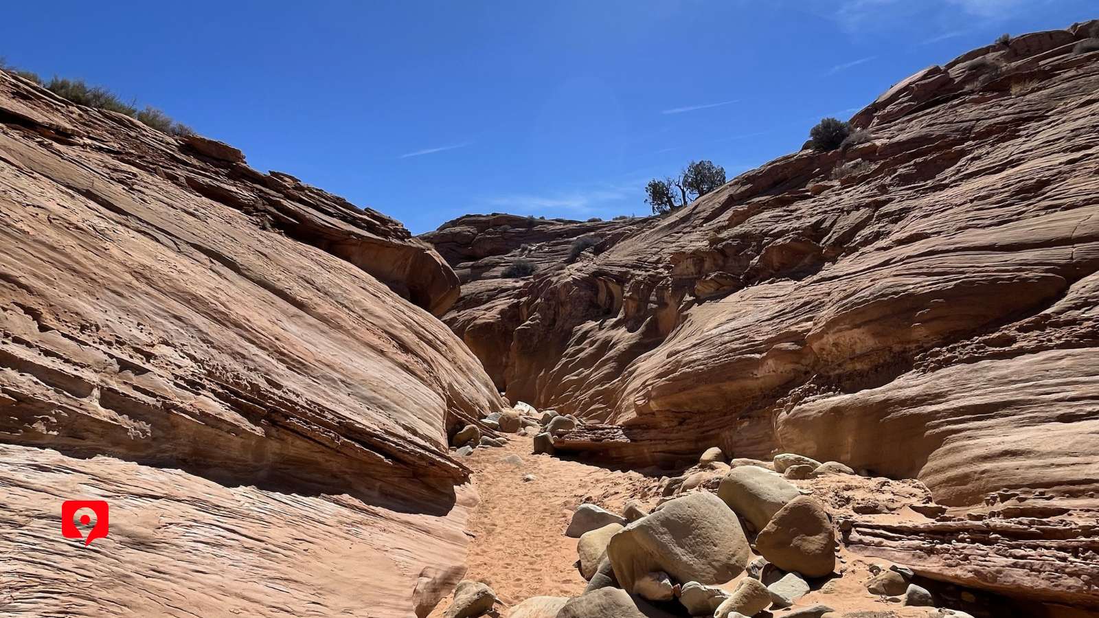
Peek-a-Boo and Spooky Gulch are an adventure for those up for the steep, 15-foot scramble up and down slickrock. Most adults will need to turn sideways to make it inside Peek-a-Boo Canyon – there are trail markers at each leg of the trail indicating how narrow it becomes. This difficult trail covers 6.5 miles and takes most people 3 or 4 hours. Do not attempt to hike this if there is rain in the forecast, as the narrow slot canyons flood easily.
This overlook stands at over 9,000 feet above sea level, where a small, paved turnout lets visitors see the full picture of the Grand Staircase as it stretches towards the distant mountains. In the foreground, the Dixie National Forest that has sheltered millennia of travelers from the surrounding arid landscape.

While the entire route between Bryce and Capitol Reef along Route 12 can be driven in about two and a half hours with no stopping, we may want to allow a full day to take your time and see everything along the way.
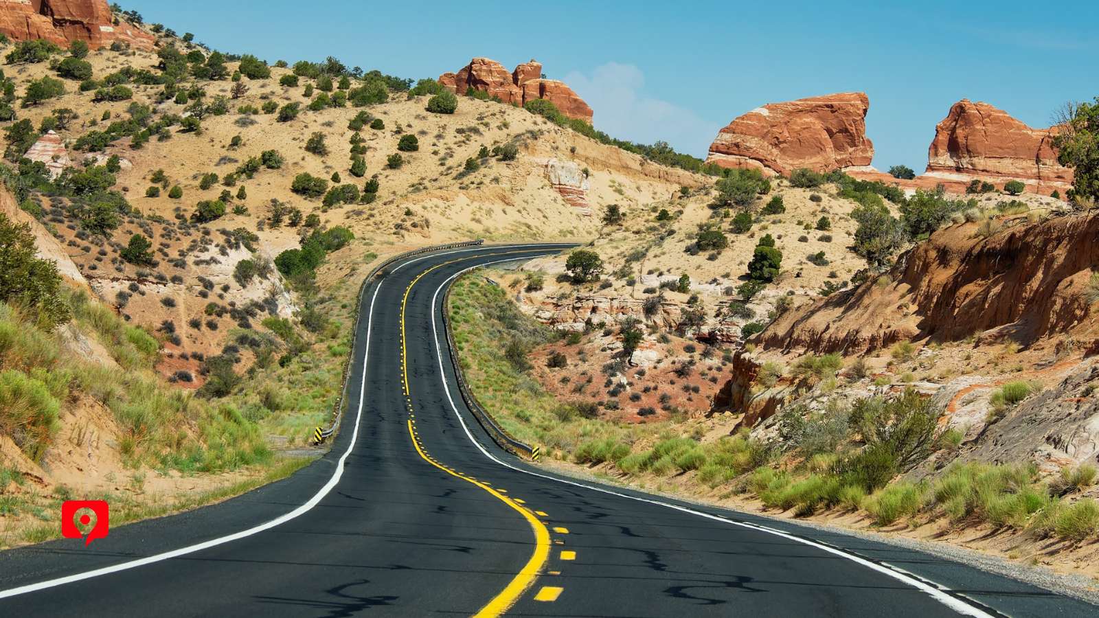
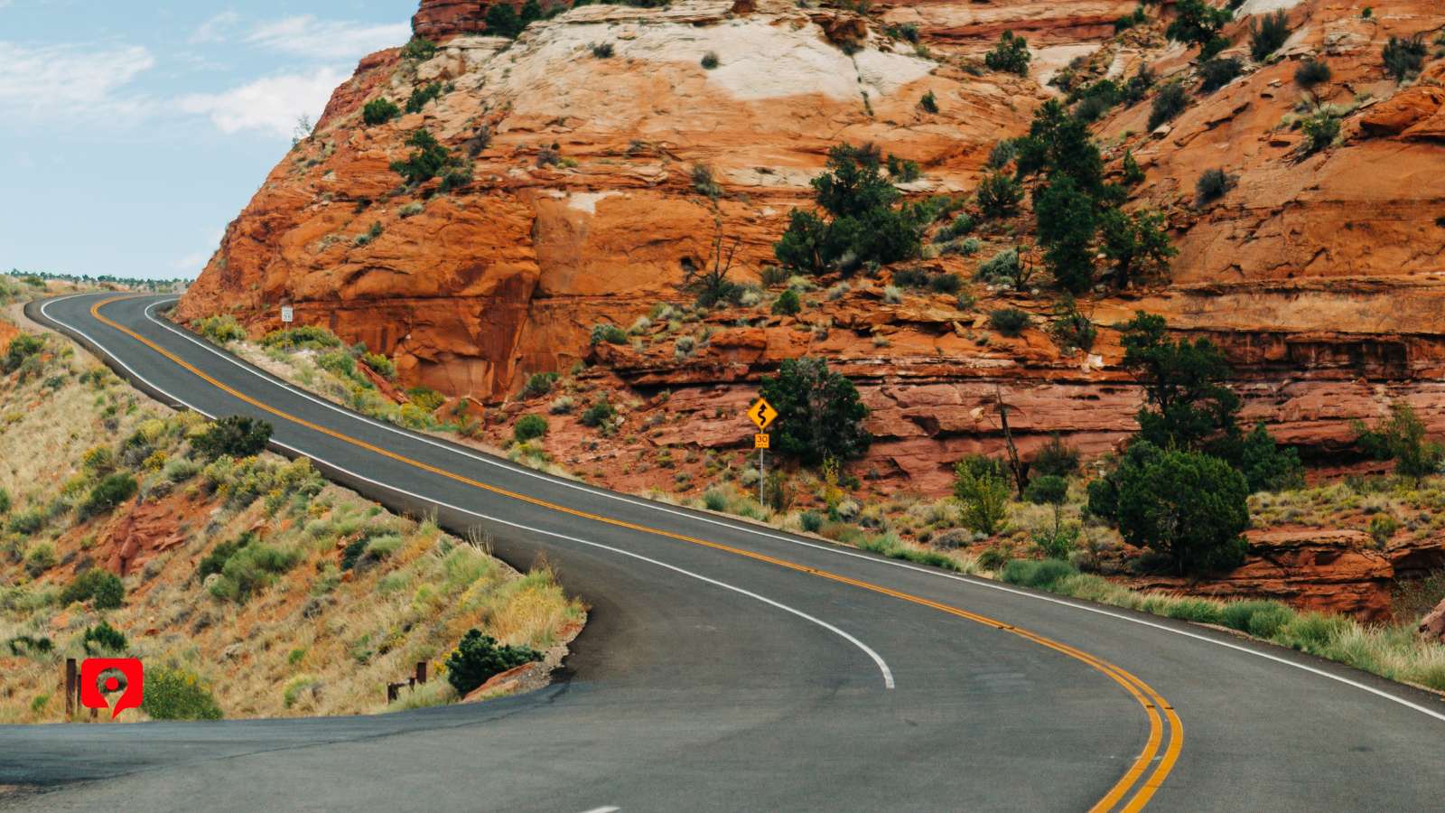
Keep in mind that several portions of the route, especially the Hogback Ridge, should be driven at slower speeds for safety. There are several good viewpoints along the route, including Calf Creek Viewpoint, Heritage Overlook, and Powell Point Vista that offer fantastic views of the striated stone without much walking from the parking areas.
If you plan on taking any of the trails along our route, allow an extra hour or two per trail to make sure you have enough time. Spooky Gulch will take at least three hours to hike, plus an extra hour to get there from the main route.
Stopping by the Wildlife Conservation Museum typically adds another half hour or so.
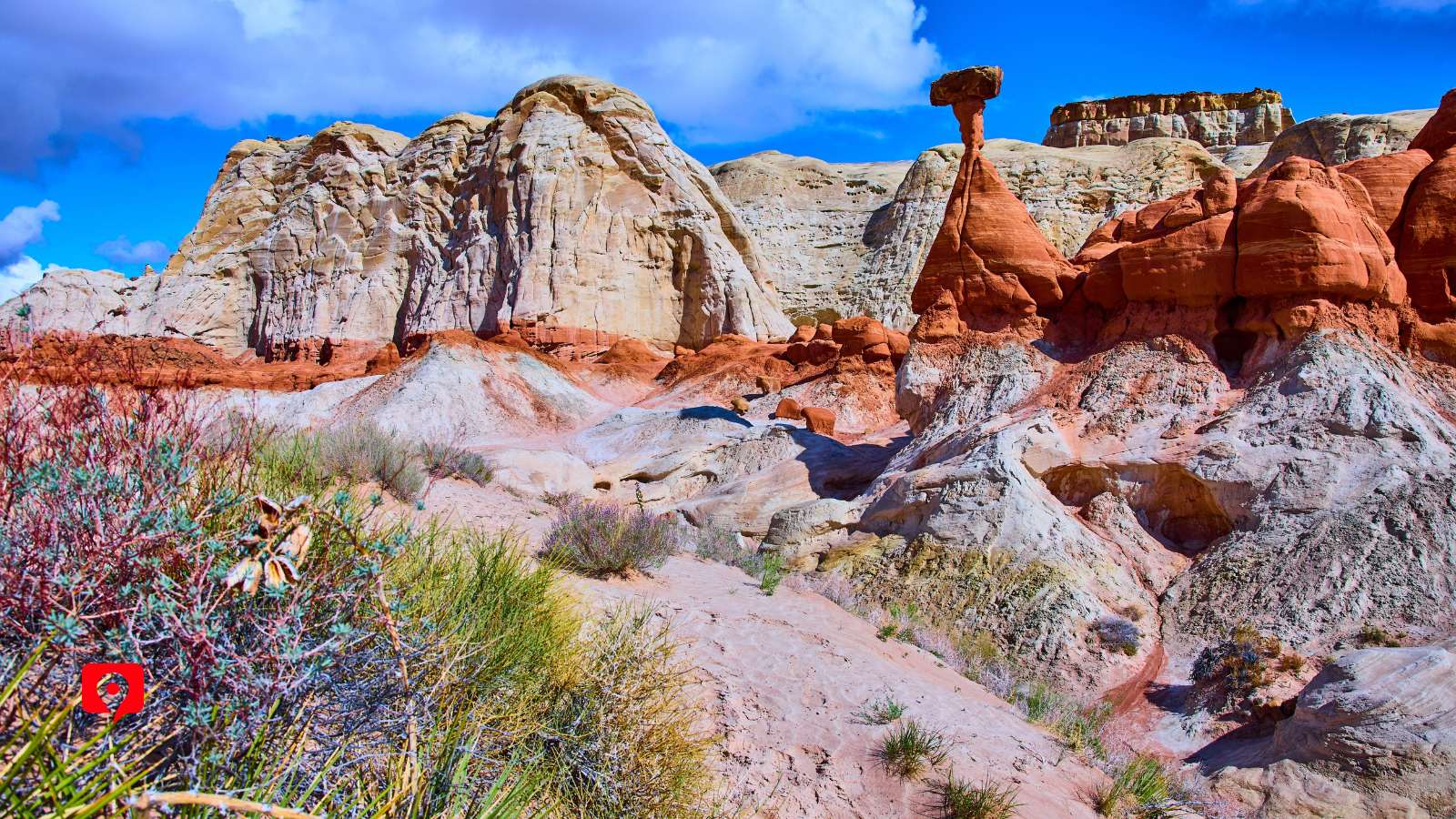
This driving tour of Grand Staircase-Escalante National Monument connects Bryce and Capitol Reef.
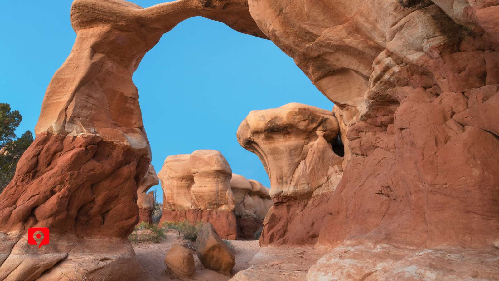
It can be completed in a single day, with time for can’t-miss stops like the Red Canyon Arch, Powell Point Vista, Escalante Petrified Forest, and the Larb Hollow Overlook.
Keep in mind that several stretches of Route 12 require you to slow down, especially the elevated Hogback Ridgeline.
Here’s a suggested itinerary for a full day at Grand Staircase-Escalante National Monument:
Start out the day with a hearty breakfast and one of the many relaxed, Western-style restaurants near either Bryce or Capitol Reef. Make sure you are fully supplied with gas, snacks, and lots of water for your trip, along with hiking gear if you plan to hit the trails.
Entering the National Monument from Panguitch, take a quick stop into the Red Canyon Visitor Center if you need any last-minute supplies, then just follow Route 12 further into Escalante. We’ll drive past Red Canyon Arches first. If animals are your thing, take a quick half-hour at the Wildlife Conservation Museum.
Officially entering Grand Staircase, hike the easy Mossy Creek Trail, then stop in Canyonville if you want a quick break. Make sure to stop at Powell Point Vista for a birds-eye view of the steps. Take the short detour to the Escalante Petrified Forest to see the trees or to use the facilities and picnic area.
This next part of the route gets into more trailheads, including the Spooky Gulch detour, so decide if the weather is looking good for some hiking or if you want to just keep driving towards Torrey. Keep in mind that hiking Spooky Gulch takes three or four hours, plus an hour’s drive to get there.
Either way, make sure to leave enough time to stop at Head of the Rocks Overlook and Big Horn Canyon Scenic Overview. Stop at Kiva Coffeehouse for a bathroom break and some caffeine. The patio has a great view, so this is also a good spot if you brought a picnic.
The Escalante River and Calf Creek have several trailheads next, so if you have enough time and energy by this point you can start hiking. End your day by watching the sunset from one of the scenic overlooks, such as Larb Hollow Overlook or Powell Point Vista, before cruising in for a well-earned rest in Torrey.
Two-Day Itinerary:
If you have an extra day to enjoy the drive, definitely consider taking one of the more challenging hikes along the route. They are closer to Capitol Reef than Bryce, so plan lodgings with those locations in mind.

Pack a DC Charger: Using location services will drain your battery faster, so bring a 12V DC charger to keep your phone charged throughout the day.
Camera & Binoculars: Bring your camera and binoculars to make the most of all the spectacular viewpoints along the way.
Sun Protection: Bring a sun hat, SPF, and possibly UV-protective clothing, especially if you plan to hike. The sun is very strong here, and there is little shade.
Food and Water: There are limited places to eat along the route, so pack a picnic, plenty of snacks, and at least one gallon of water per person.
Comfortable Walking Shoes: The terrain here is a mixture of sandy and stony, so even if you just plan to stop at viewpoints, sturdy, grippy shoes are a must to avoid slipping on uneven terrain. There’s a reason the rock around here is named “slickrock” – it’s easy to slide.
Plastic Bags: Bring a few small bags for trash, wet items, or pet waste so you can keep the car clean and pack everything out properly.
Waste System: Consider bringing a portable human waste containment system. There are very few public bathroom facilities in the park, and guidelines require that you answer nature at least 300 feet from a water source and pack out all waste.
Emergency Gear: While we’re sure you checked the forecast ahead of time, emergencies do occur. Keep rope or chain in your trunk along with a shovel in case your car gets stuck.
Extra Necessities: Bring a first aid kit, insect repellent, and a tool kit and tire pump just in case.